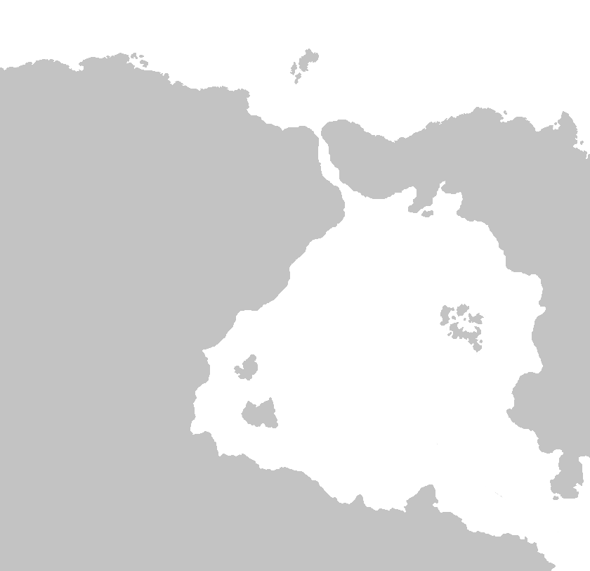
Redoing an old map from scratch, want to get any problems with the coastline/placement/scaling of the land before I get to work on it. I am looking to make it as believable as possible.
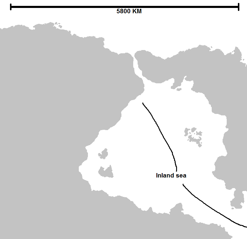
Here is the current map with some notes added on: 
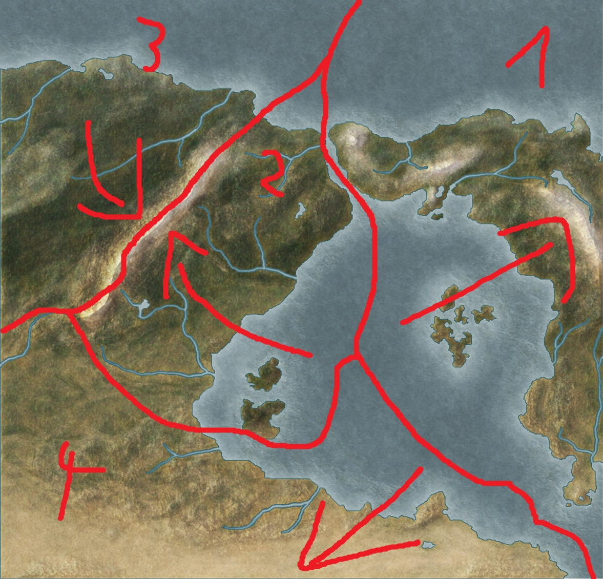
This is the old one for reference with a rough sketch of tectonic plate placement added on:
Any feedback would be appreciated.
EDIT:

