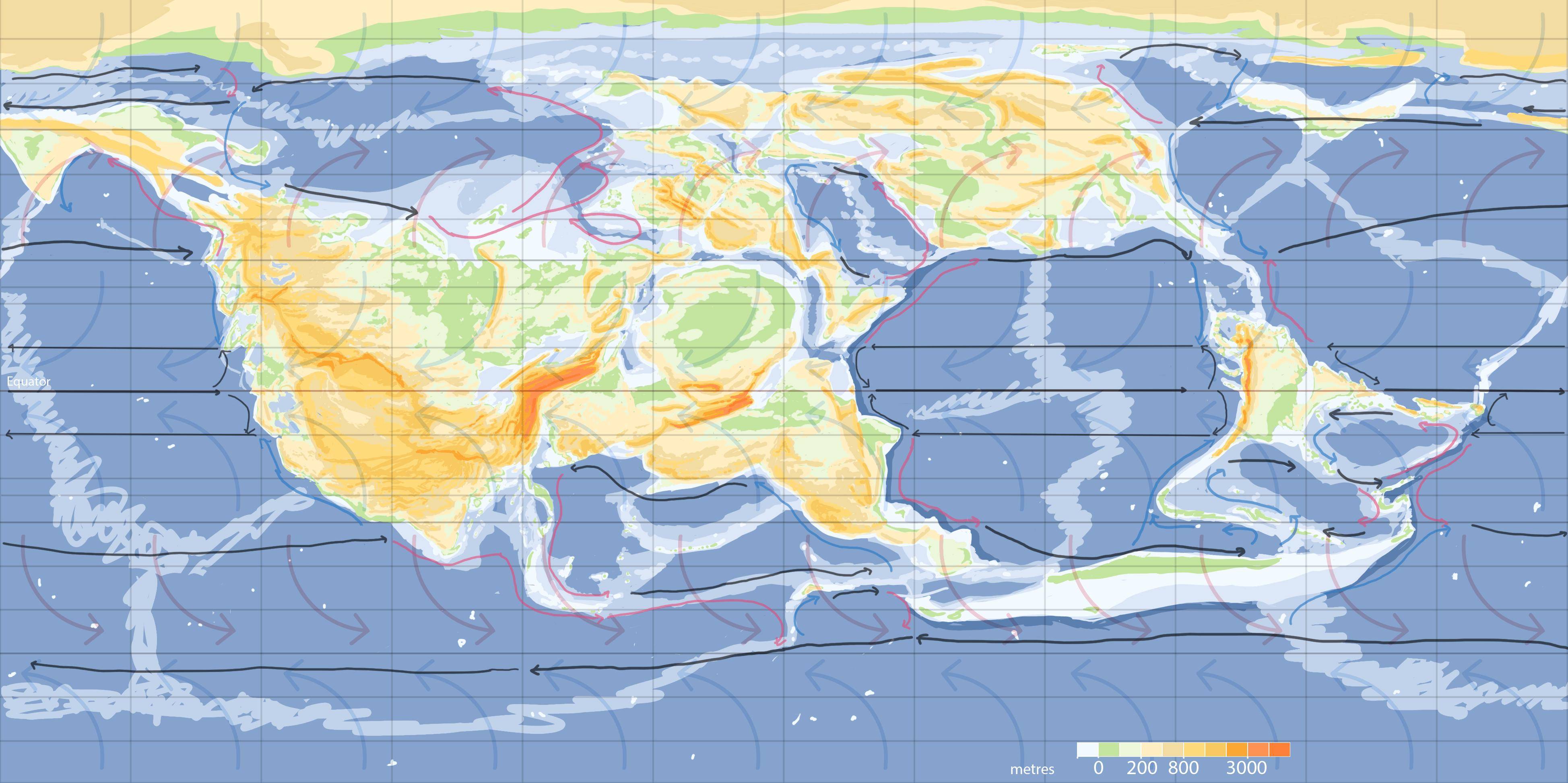
I'm working on an earth-like world that has a two main continents akin to Eurasia+Africa. but centred on the Equator. Basically, the premise is to shift the east-west axis of diffusion that exists on Earth across the Eurasian steppe south to the tropics. Therefore, I'm looking to maximize savannah and/or hot steppe climates, although tropical rainforests are by no means unwelcome. (if anyone's interested, I'm trying to create a world that goes counter to the popular idea that agriculture and thus civilization can only arise in mediterranean/temperate zones; I'm reading Tropical Forests in Prehistory, History and Modernity which has really changed the way I understand both agriculture and tropical climates -- a PDF can be found for free online :-) )
In all respects aside from the continental layout the world is like Earth. The highest mountains are at the collision of the "African" and "Eurasian" plates. I haven't yet worked out montane climate zones nor sea ice.
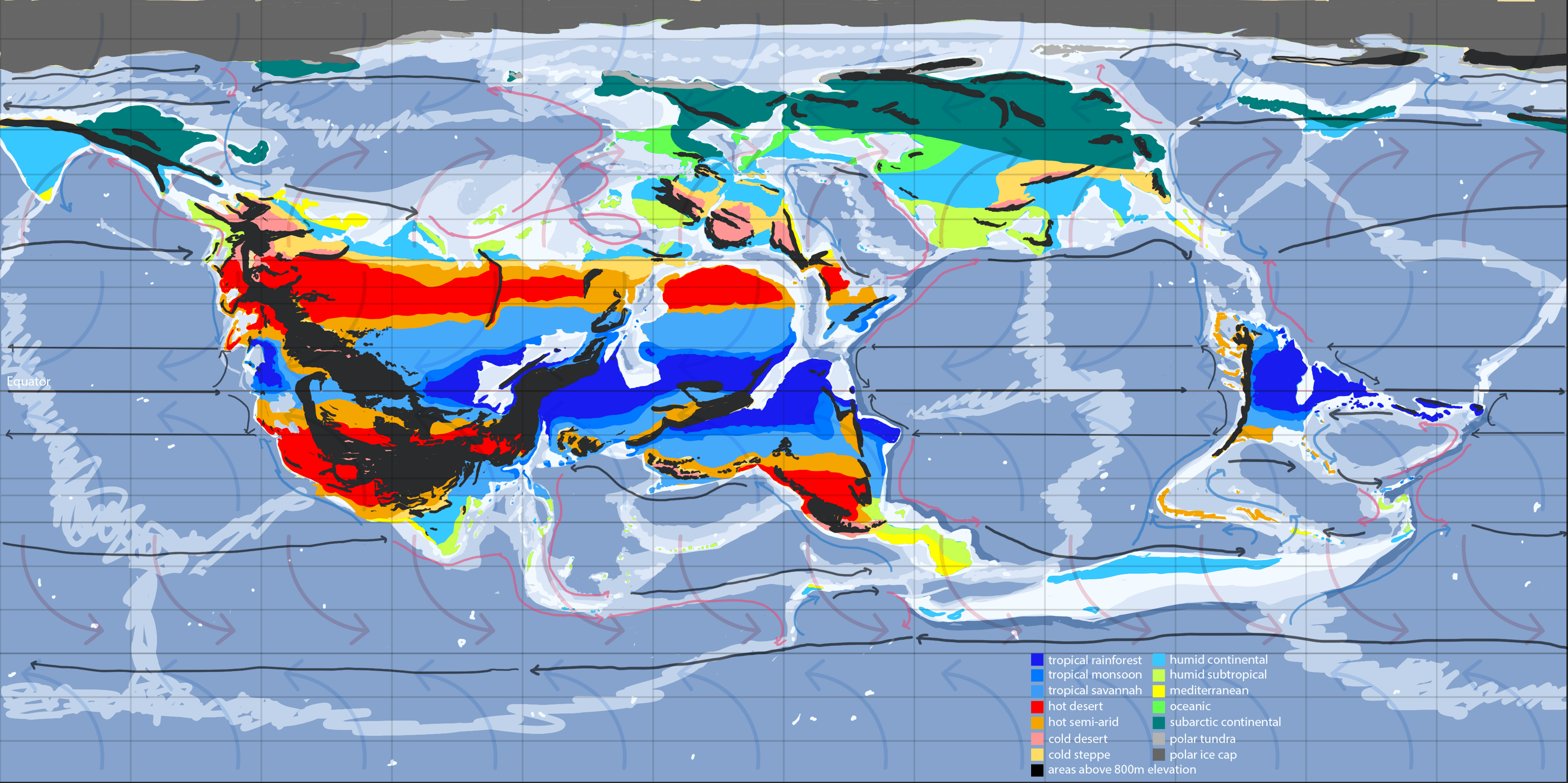
I've taken a crack at the climate method outlined in Artifexian's videos on the subject, but after taking a look through Geoff Eddy's climate cookbook, I think I may be missing some nuance, especially when it comes to such large equatorial continents. I've read that rainforests produce more than 50% of their own rain, so I've tried to give less import to onshore winds and generally make the regions near the equator wetter than my instincts would lead me to. My climate map after a couple of iterations looks like this:
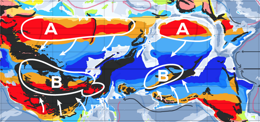
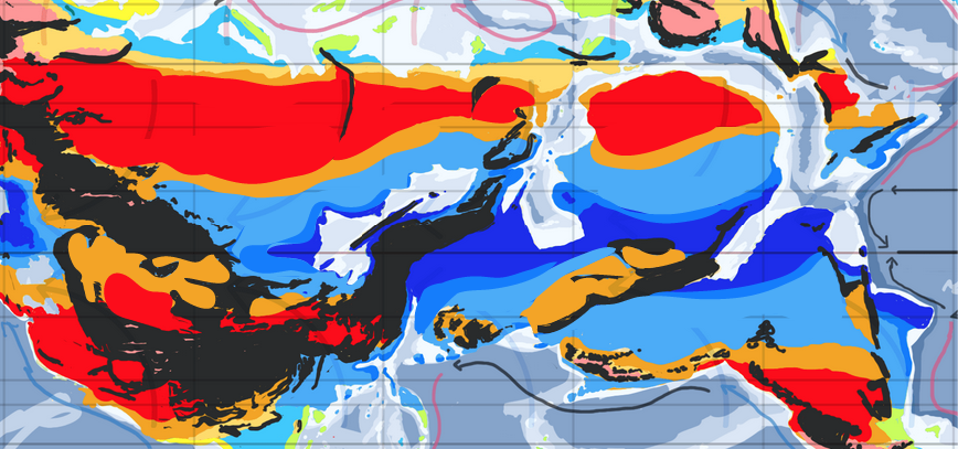
Am I on the right track? In particular, is my distribution of tropical rainforest and hot desert right? Is the continent big enough that the interior would be dry out of sheer size? Related: how are my ocean gyres? There are some narrow seas in between continents that it's not obvious to me how water would circulate in; getting these right will help me properly situate my deserts & fine-tune my Ferrel cell climates.
Thanks!

