Okay fellow nerds, I am in need of assistance. I am making a fan-made map for a book series and I have run into a problem. The problem being while I love making maps (fun hobby) I am trying to reconcile what I know about the world from the story, and my limited geological knowledge. I was pulling my hair out, so I decided to turn to my friend the interwebs.
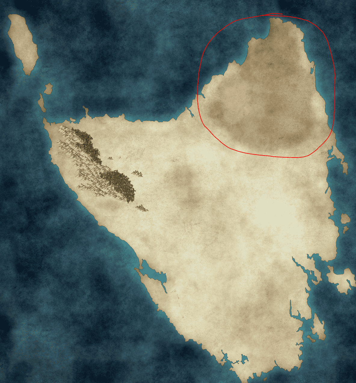
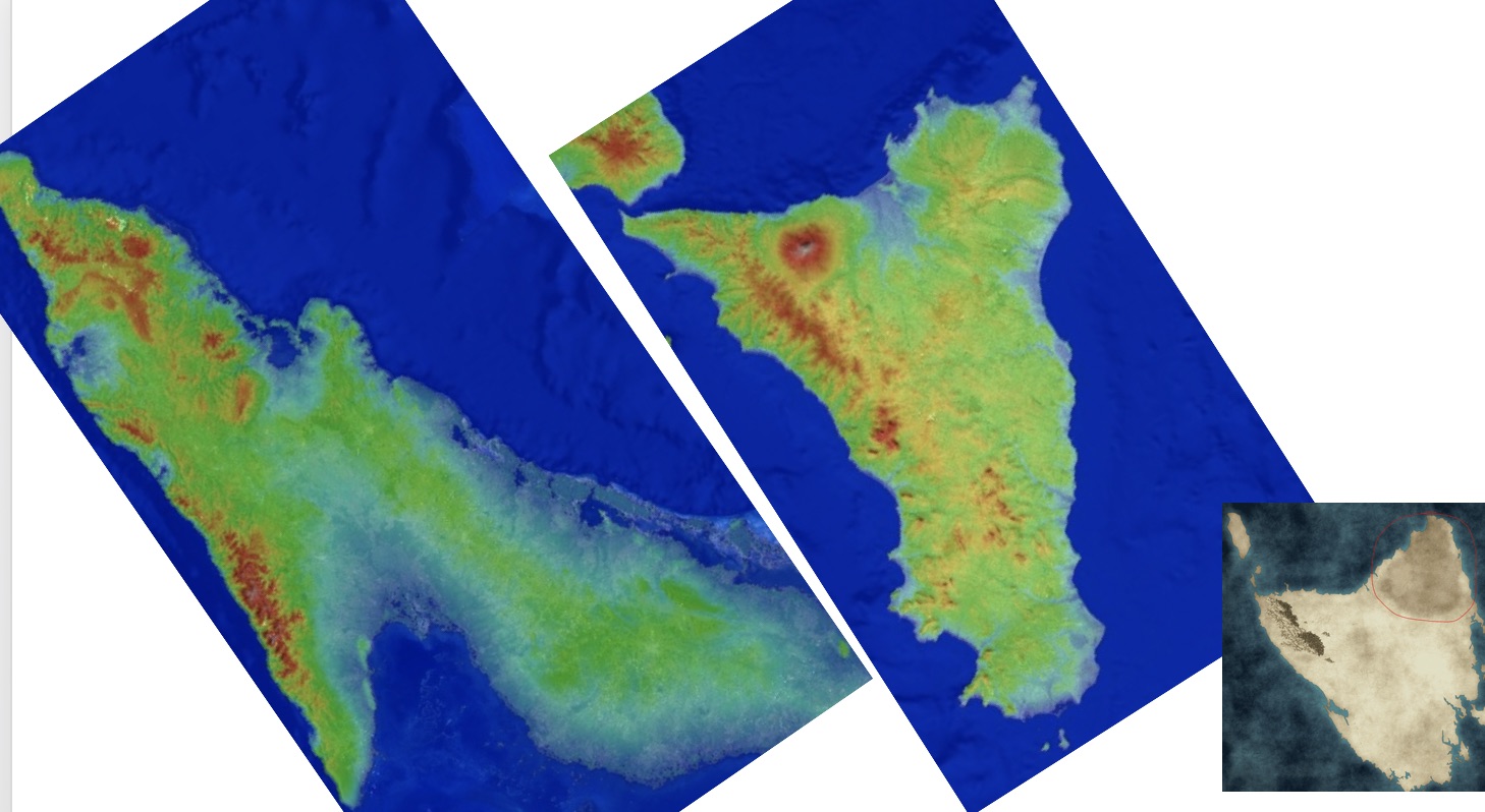
Here is the map I have so far:
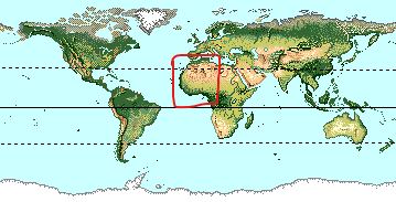
On the left, there needs to be the mountain range and forests as are. And in the top right there needs to be a Sahara-esk type dune desert. This continent occupies a similar latitude positioning as the red square in the following image.
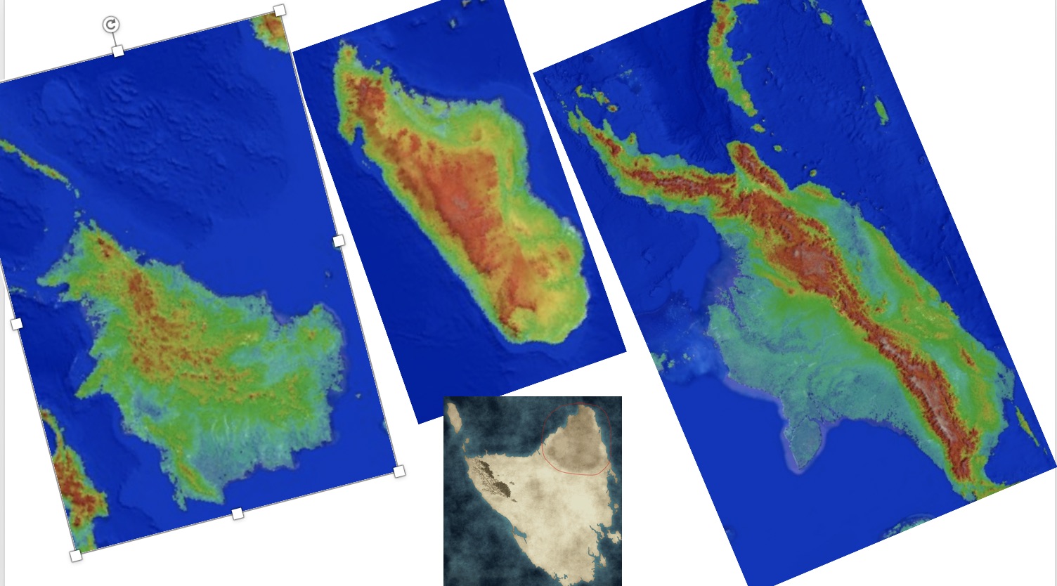
What I need to know, and what I am asking you all, is where would I geologically put another range of mountains. There is one, narrative-wise, we just don't know where.
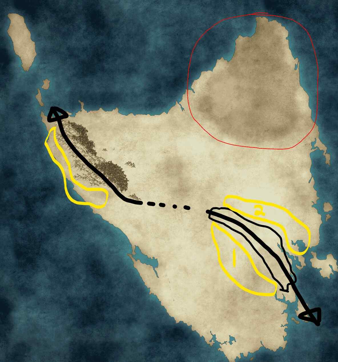
Originally I was planning on having the mountain range look like this:
For the top mountain range, the rain shadow would need to be on the left, but for the other range, I'm not sure is the rain-shadow would be in spot 1 or 2. And for that matter, I didn't even know if it made sense for the second range to be where it was.
I don't get how wind and weather works much, so the question is, with the first mountain range, forests, and desert to stay where they are, where would you put more mountains?

