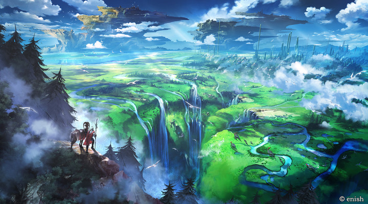
Looking at your picture, the obvious answer is that this is all parkland: the impressive chasm with waterfalls in the middle of the picture is a famous scenic location, and the surrounding area has been reserved for recreation and nature conservation.
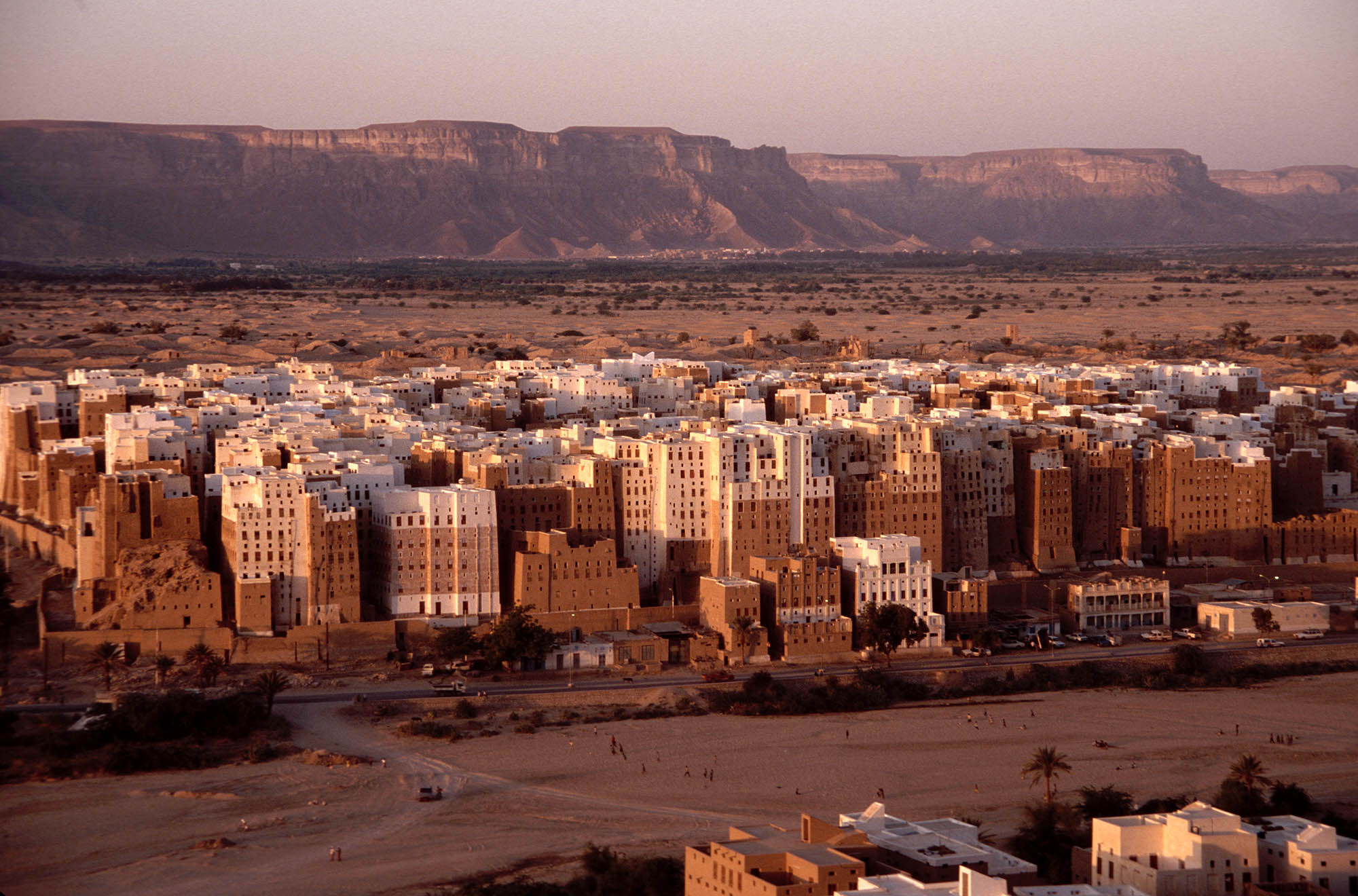
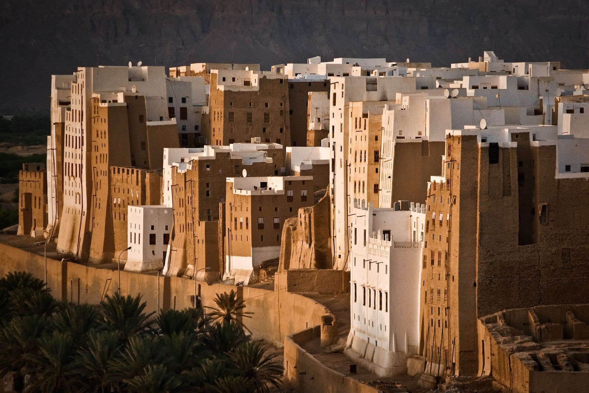
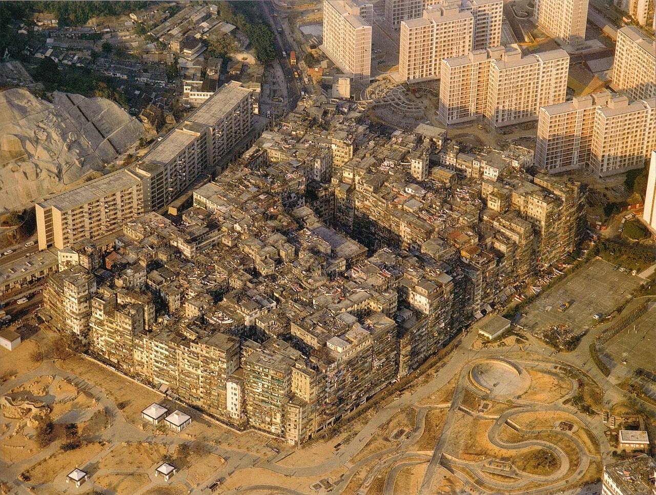
The urban sprawl, such as there is of it, is on the other side of the city behind the skyscrapers. And possibly surrounding the park on other sides, if the city has expanded there too. Either way, it's not visible in the picture, perhaps deliberately so by careful choice of vantage point. (See also: countless nature photos and videos that look like they've been taken in untouched wilderness, even though there's actually roads and buildings and power lines etc. just outside the frame.)
But that's kind of a boring answer from a worldbuilding viewpoint. (Although I can certainly see ways to take it and run with it — for example, maybe most of the world is monotonous high-efficiency farmland, with a few of these carefully maintained "natural" parks sitting side by side with densely packed cities whose inhabitants can enjoy them and pretend they're living in harmony with nature.) So let me suggest a few more possibilities.
For example, maybe the picture is taken during the dry season, and all that green "grassland" around the chasm is actually part of the channel of a wide river that the city is built next to. When the rainy season comes, it'll all be submerged in the shallow but rapidly flowing river. The patches of woodland dotting the plain are actually low-lying (and possibly somewhat shifting) islands that are hardly safer to build on that the riverbed itself.
That kind of geography is actually quite characteristic of the upstream side of very large curtain-type waterfalls (like the Victoria Falls in Africa or the Iguazu Falls in South America), as they typically form in places where a major river flows over a flat bed of hard basalt until plunging off the slowly eroding edge into a deep chasm cut into softer rock beneath. Add sufficient seasonal variability in rainfall, and you could easily get a landscape much like depicted in your image (plus or minus the city).
(As noted in the comments to SRM's answer, floodplains are often used as farmland, as the flooding tends to spreads sediments that act as natural fertilizer. However, for this to be practical, the land needs to be dry for long enough for crops to grow — if it's underwater for most of the year and only briefly dry, farming becomes a lot harder. Also, even if the land was indeed used for early low-tech farming — which could explain why the city was originally built there — the farms might've moved elsewhere after the invention of artificial irrigation and new farming techniques better suited for places where the water supply can be controlled and where there's less risk of your crops and your boundary markers getting washed away by unseasonal rains.)
Again, there could easily be suburbs on the other side of the city, or "behind the camera" on the other side of the river. Or maybe not, depending on the economics of the city, zoning laws and local culture. (Maybe the city actually lives almost entirely off tourism, and those tall buildings are in fact all hotels with a nice view of the waterfalls?)
Another possibility that occurs to me is that the flat green areas could actually be pastureland. Probably, given that those grassy areas seem to extend quite far down the chasm, for sheep or goats or some other local grazing animals that don't mind a bit of climbing. After all, clearly something is keeping that land from getting covered in trees and bushes, and if it's not seasonal flooding or diligent park staff with lawnmowers, the most likely third option is that it's being grazed.
So why would the city be surrounded by a giant pasture, instead of the usual suburbs and farms? Maybe the people who built the city never really developed agriculture (if you hadn't specified that they're human, I'd be tempted to suggest that they might be a species of obligate carnivores), and thus also never acquired a cultural preference for single-family homes with private gardens. Instead, their society is (or at least has traditionally been) divided into a (dwindling) nomadic caste that travels with the herds and has no fixed abode, and a (growing) sedentary caste of crafters and traders and other sorts of cityfolk who live in dense communal settlements and subsist off the food produced by the herdspeople, traded for manufactured goods and services.
(Or perhaps they all live in the cities for most of the year and let most of their livestock roam free, only gathering them up once or twice a year for counting and culling, much like arctic reindeer herders still do in the real world. The herds might be communally owned, perhaps with each town having shared ownership of all of its semi-domesticated livestock, since having too many separate owners in the same area could tend to make separating the herds at counting time too cumbersome.)
If you do decide to go this route, it's worth noting that herding animals, while less labor-intensive than agriculture, is also considerably less productive for a given area of land. Traditionally, in the real world, large scale herding has only been common in places where either population density is low — often on the periphery of farmland, which itself surrounds towns — or where the land is for some reason not well suited for any available farming methods. If you want a large city to be supported (almost) entirely by herding, that's going to require a lot of pastureland, and you're not likely to have another similarly sized city anywhere nearby. (Unless maybe there are also coastal towns and cities supported by fishing…)

