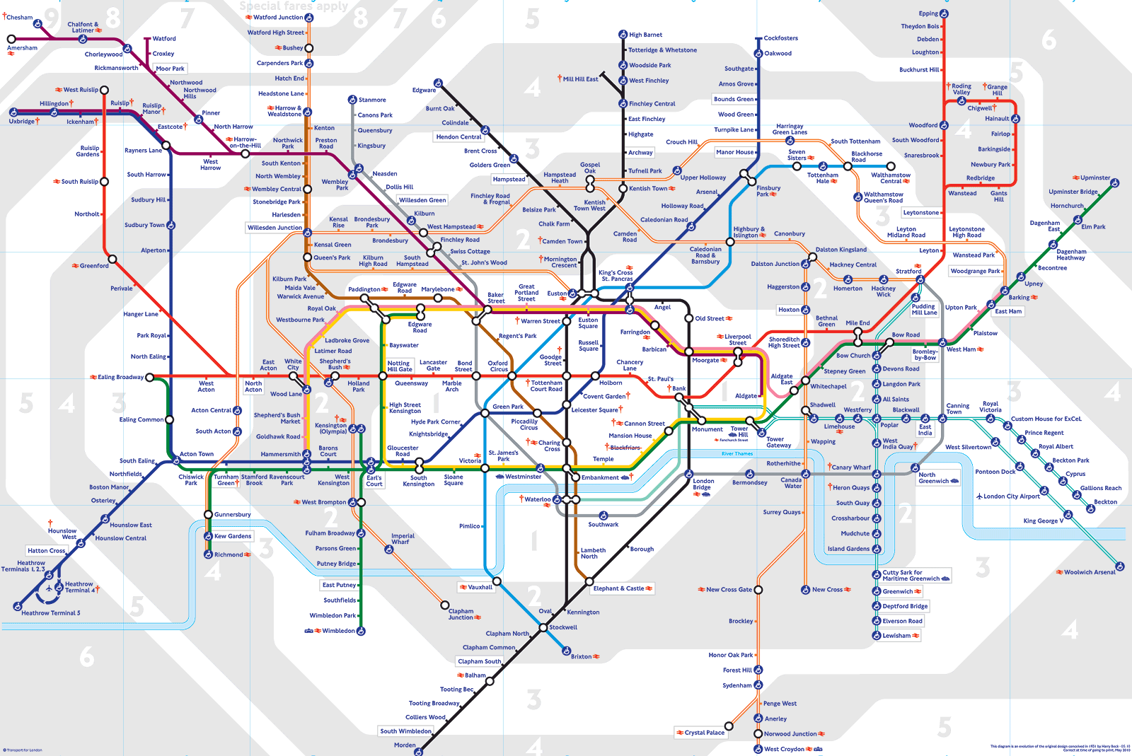
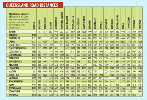
This is my first time posting on Worldbuilding, so please, if I make any mistakes or don't provide enough / the proper type of information, do not hesitate to tell me.
Introductions aside, let's jump right into the good stuff: Assume for a moment that you are in a fantasy world where magic is quite common, and everybody lives in harmony, doing magic-people things. Only, instead of everyone living on one conjoined land mass - for example, a continent - they all live on separate, spread out floating islands... in different planes. The only way to get from one island to another is through a portal to that island / plane, which in a magical society is quite easy to produce. The question is, how would people 'map out' locations in this world? Directions and getting to places are still things, as the portals would most likely only work with "nearby" planes; however, how would the local folk create easily visualizable maps of their area (whether on paper or anything else)?
Each island would be rather small, and while there might be a few planes with more / larger islands, most of them would only contain one or two with enough room for a couple of houses at most.
Any help at all is appreciated.


