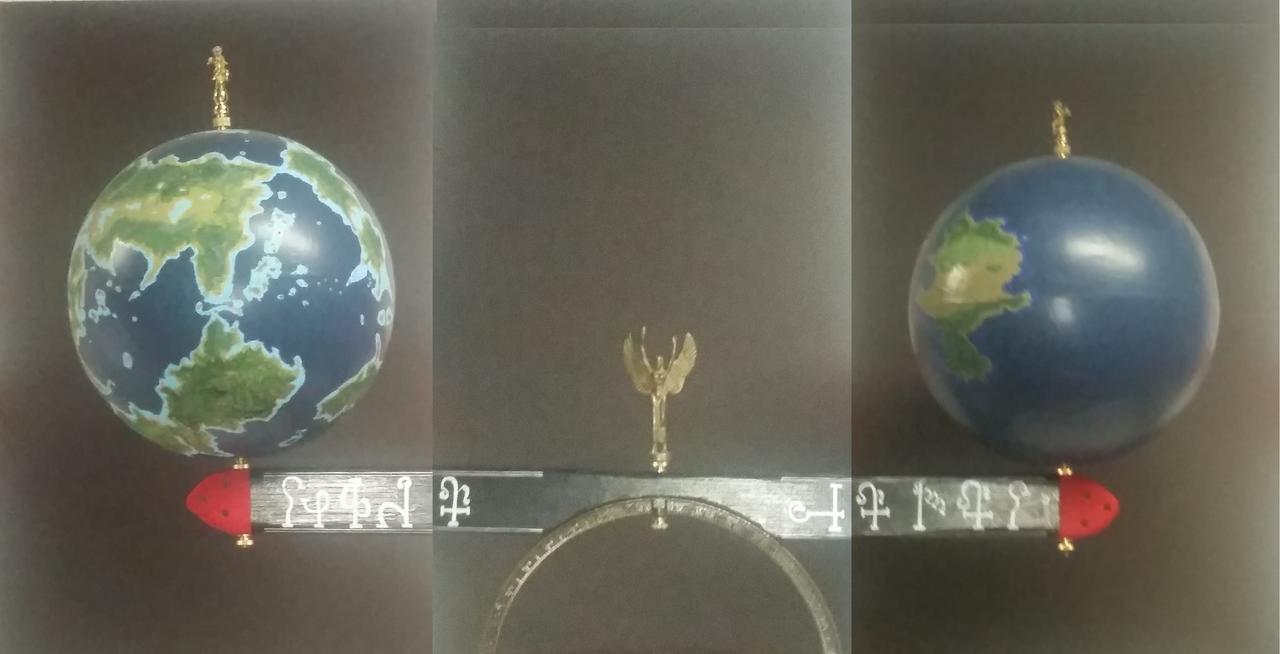
This is Yeola~Camay. A double planet orbiting Sharro, an ordinaryish star somewhere in the universe of Far Far Away.
As you can plainly see, Yeola is the planet on the left & Camay is the planet on the right.
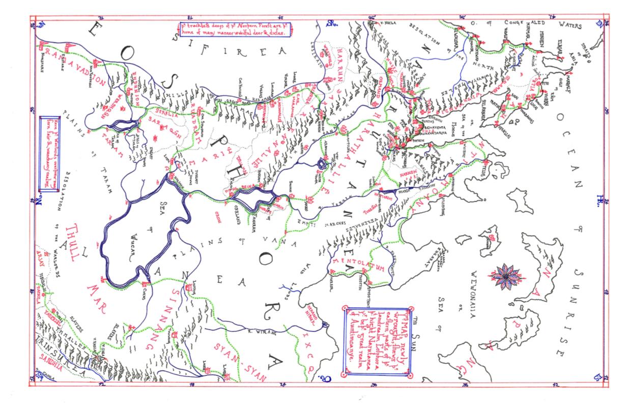
Here is a map of Narutanea, the Eastlands of Yeola:
East is to the right, west is to the left. The markings around the edges of the map show degrees north of the equator and east of the prime meridian. The space between each is six degrees.
The land to the south of the Sea of the Moon and to the west of the Ocean of Sunrise is labelled Auntimoany and its chief city is Pycleas. Pycleas is roughly 24 deg north and 36 deg east (close enough for government work!). (This is point of interest no. 1). Directly to the west is the country of Harathalliê, where you can see a lake. In the vicinity of the lake are the West Downs and the old North Tower. (This is point of interest no. 2)
The two locations are about 1200mi distant, as the raven flies.
This is a map of the night sky, centered at the ancient observatory just west of Pycleas:
If you lie on the courtyard of the Observatory with your head towards the east (right side of the map) and tilt your head back, you'll see the red gash of The Chasm down towards your right hand and you'll see a portion of Camay above your head.
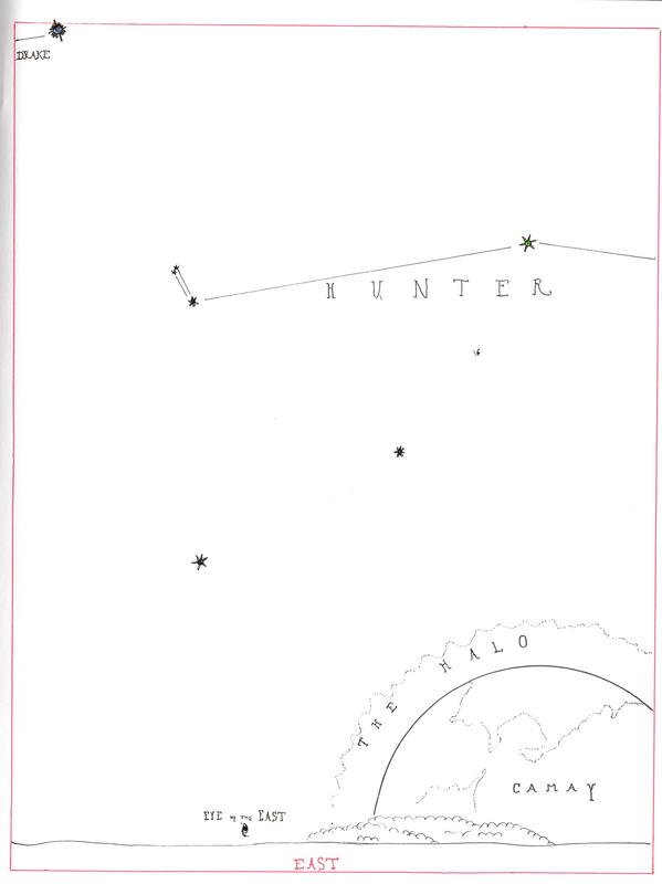
This is a map of the eastern sky, showing approximately what an observer would see looking out east over the waters of the Ocean:
In this map, the observer is looking towards the east, making the north poles of both planets off towards the left.
I figure, from this particular vantage point, the observer can see about 25% to 30% of the twin planet. Since they're tidally locked with respect to one another, that aspect of the sky never changes.
The Question!
Given that Camay would be more visible the farther east I travel from Pycleas, because I'm moving towards the line in space where the twin planet's cores line up; about how far west can I go before Camay disappears entirely?
Pertinents: Yeola is 34,851 mi in circumference (11,093 mi in diametre); Camay is 33,124 mi in circ. (10,543 mi diametre); the distance between their poles is 2.6 planetary diameters or about 28,128 mi. (NB: if that makes Camay "look too big" in the sky, then I may opt to place them further apart.)
To make life easier, while there are mountains (none terribly high) and hills and valleys and forests and so forth between Point no. 1 and Point no. 2, we can probably sweep those differences in elevation under the most convenient of metaphorical rugs. I'm looking for a broad range (say within 50 or a hundred miles) rather than a definitive point, brought out to fourteen decimal places.
Also, you can ignore that their miles and our miles are slightly different in length.
The very allerbestest of responses would couple visuals with numbers. A merely acceptable response will simply state a rough distance (in miles) west of Pycleas where the twin planet disappears.


