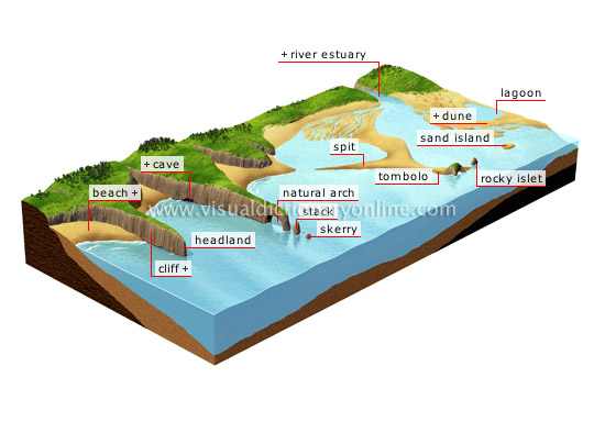
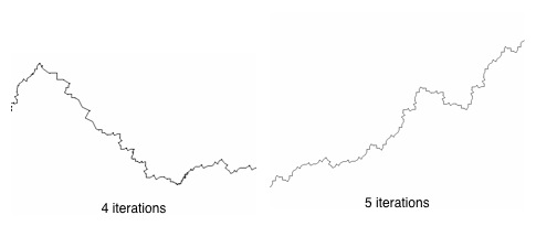
I can offer a quick and dirty method that relies on the fact that coastlines and other geographical features are fractal in nature and, therefore, show self-similarity in all scales. That is, a coastline looks the same at the scale of one meter as it does at one kilometer.
Unless the human eye has something other than the fractal shapes to provide scale e.g. a vehicle, city, roadway etc., geographical features on images look realistic even after you scale the image up or down. The higher the resolution of the image you start with, the more you can scale up while keeping the realistic fractal properties.
So nip over to google maps/earth or some other similar service(s) and start looking for islands. I suggest Indonesia, the Philippines, the Aegean, the coast of Alaska and B.C. etc. Gobs of islands in all shapes and sizes, most of which no one who isn't from there would recognize.
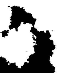
Pick some small obscure island, grab as high resolution image of the whole island as you can, then load it into your favorite image editing app. To obscure any possible familiar outline, rotate the image to some arbitrary angle other than the one it holds in reality and/or mirror it right-to-left or up and down. Somewhat surprisingly, I've found that we are so used to seeing land masses in specific orientation that even a minor change in orientation makes them unrecognizable to most.
Then scale the image upward until it reaches the scale, on your map, of the landmass you want and presto, instant novel land mass continent with realistic coastlines, and usually all other terrain features as well.
The same basic trick works on all geographical features because they all have fractal properties just like coast lines. Creeks scale to the Amazon, and often hills make passable mountains (although not always, some hills are degraded mountains but others result from other actions like glaciers. In many cases you might find them too rounded.) If they don't you can always swipe mountains of craggy hills from some other part of the globe, rotate, mirror, scale, and drop it on the continent.
You can also, with some practice, create a union of two resized islands together to make a completely novel profile, although making it look seamless is trickier than than it sounds. In this case, the fractals are working against you. It's easy to get plains and other flatlands to merge fairly transparently but usually not mountains or other rough terrain because the transition in scale becomes apparent along the seam.
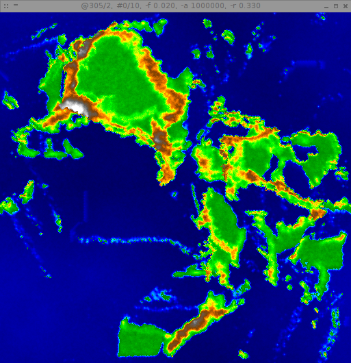
Also, don't forget coastal plates under the water. The edges of the plates look very much like coastlines for they undergo a very similar process of erosion. They even have rivers and channels.
In thinking about it, I've only done this in 2D but with the 3D mappings out there, you might be able to pull the same trick in 3D to make a fly over.
It's been a while since I used this method to cobble together a quick world for a friend so I apologize for not having an example at hand but I think the idea is simple enough for everyone to grasp it.
At the very least, it's a good way to quickly prototype a world in preparation for using a more sophisticated method.
Gotta love fractals.


